Satellite Oceanography, Unlocking Insights by Analyzing the Big Picture
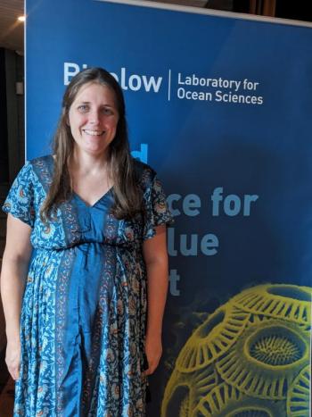
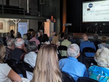
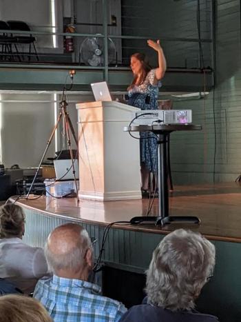
Bigelow Laboratory for Ocean Sciences (BLOS) concluded its 2024 Café Sci lectures on Tuesday, Aug.6 at the Opera House of Boothbay Harbor with Catherine Mitchell, Ph.D. and senior research scientist presenting “Satellite Oceanography, Unlocking Insights by Analyzing the Big Picture.” About 130 people attended.
Mitchell, a Scotland native, came from a physics and mathematics background before earning her Ph.D. in optical oceanography from the University of Strathclyde. BLOS President and CEO Deborah Bronk introduced her as one of Bigelow’s most productive scientists, a role model for young female scientists, and the recipient of four large grants totaling $2.5 million within the past five years.
Mitchell’s primary research interest is understanding changes in ocean color, via satellite measurement, with on-water data validation underneath, to observe the ocean’s ecology and understand the complexities of marine ecosystems, specifically relating to particulate inorganic carbon remote sensing, remote sensing of carbon in the Gulf of Maine, volcanic blooms, copepod remote sensing, intertidal seaweeds monitoring, and the Gulf of Maine North Atlantic Time Series (GNATS). Many of these initiatives are in conjunction with universities, research institutes and partnered companies. Her lab’s web page provides information on each.
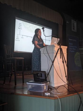
Unlike her predecessors in the series, Mitchell didn’t have a photo of herself from 1974, the year BLOS was founded, the root of this year’s 50th anniversary celebration, because she wasn’t born until 1988, and much of this history she presented predates her. The strength of her presentation lies in the future approach to satellite oceanography, as it builds on the foundations of the past.
Mitchell began the lecture with a tour of ocean color charting, from the earliest Forel-Ule Ocean Color Scale, through a progression of satellites, measuring between four and nine colors over the past 50 years before landing on the PACE satellite, which launched this year and can measure over 100 colors, providing the most detail yet, resulting in daily global biosphere data. “(Satellites) get images of the entire planet every day, you can’t do that on a ship,” she said.
Early on, the Nimbus Program at NASA, a research platform for trying out new instruments on satellites, provided opportunities for BLOS to see if it was possible to measure ocean color from space. It was. The Coastal Zone Color Scanner (CZCS) project which included BLOS Founder Charlie Yentsch produced so much data, they hired a local high school student to sort through the magnetic date-tapes and make a database. BLOS is one of 10 sites in the U.S. to house these data stores, she said.
As color is measured, scientists now turn their inquiry to relating color to things in the water. PACE provides detail that allows scientists to see the separate types of algae and research more involved questions about the various types and their life cycles. Mitchell posted a 1986 quote from scientist Janet Campbell saying the challenge of the time for remote sensing was to discover persistent versus transient features, noting the true usefulness of remotely sensed data will be in the future. Enter Dr. Mitchell and her team. Not only does the PACE satellite provide the most information to date, enhanced with AI algorithms to interpret the data into meaningful biological information, a different satellite (GLIMR) captures images from a geo-stationed satellite, which sits in the same place continually, allowing scientists to measure changes within a day – addressing Campbell’s challenge of ascertaining persistent versus transient features.
Mitchell hopes to soon have a dedicated oceanic lidar system. She simplifies lidar as “radar with light” – a remote sensing method that uses pulsed laser light to measure ranges, which will allow them to see deeper than the five to 10 meters (first optical depth, Zpd) ocean depths currently visible by satellite. This is exciting, said Mitchell, because phytoplankton was always the innovation driver and it is very small, but lidar will permit the study of zooplankton (copepods from her presentation), building optical for larger size things, opening the door to new work at Bigelow.
In addition to the global distribution of algae, Mitchell said satellite data has also taught us connections between physics and biology; they monitor and track events like oil spills and harmful algae blooms, they provide estimates of carbon in the surface ocean and how it varies in time and place and demonstrate larger scale climate and ecosystem models. Locally, we’ve learned that the Gulf of Maine has gotten yellower, due to increased precipitation and runoff.
“Ocean color satellites have transformed the way we look at our oceans. They can give us a daily view of the whole globe, something unachievable by other methods, and have revealed many surprises about our planet,” she writes in Transect (Summer 2024).
Mitchell’s lecture will be posted on BLOS’s YouTube channel. Bronk closed the event with a lengthy list of people she thanked for supporting the Café Sci series and BLOS pursuits, including staff, board members, donors and sponsors such as HM Payson, who sponsored the lecture series. She thanked the Opera House for providing a location before she announced next year’s Café Sci series will be on campus in BLOS’s new center for innovation.




.png)

.png)
